Staring at a Merritt Island map and wondering whether canal-front or riverfront fits your life and budget better? You are not alone. Waterfront choices here hinge on boating access, views, upkeep, flood risk, and long-term value. In this guide, you will get a clear comparison, a field-ready checklist, and a step-by-step plan for touring homes with confidence. Let’s dive in.
Merritt Island waterways overview
Merritt Island sits between the Indian River Lagoon and the Banana River, with residential canals and creeks connecting to those larger waters. When people say “riverfront” here, they usually mean frontage directly on the Indian River Lagoon or Banana River with open-water exposure and quick access to the main channel. “Canal” typically means a man-made neighborhood canal that may be narrow or wide, shallow or dredged.
These waters are tidal and ecologically sensitive. For a helpful primer on the lagoon system and how boating access and habitat interact, review the resources from the Indian River Lagoon National Estuary Program.
Boat access and navigation
Directness and routes
If fast, simple routes matter to you, riverfront often wins. Open-water parcels typically offer shorter runs to the Intracoastal channel and, depending on your location, faster access to Port Canaveral and offshore. Canal properties vary. Some canals are wide, deep, and open directly to navigable channels. Others involve winding routes, shallow spots, or fixed bridges that add time.
Use official navigation tools to confirm. Start with NOAA Tides & Currents for tide data and chart references, and check Port Canaveral information for navigation context if offshore trips are part of your plan.
Depth and draft
Riverfront sites usually have more natural depth than interior canals, though shoaling and tides still matter. Canals can range from deep and dredged to shallow and best for flats boats or kayaks. Before you fall in love with a view, ask for mean low water depth at the dock and along the route. Verify with tide data, prior dredging records, and, when possible, a marine surveyor’s soundings.
Bridges and clearances
Some routes require you to pass under fixed bridges or through culverts that can limit sailboats or tall towers. Confirm the vertical clearances and any navigation notices using the U.S. Coast Guard Local Notices to Mariners.
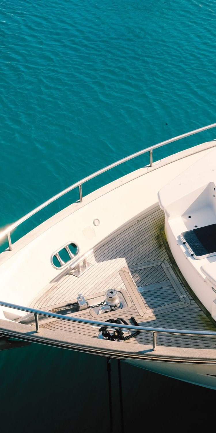
Docks and mooring
Riverfront lots often allow larger docks and deeper slips, while canal properties may face HOA or setback limits and shallower basins. If you need a lift, check the lift’s capacity and the pilings’ condition. Ask for any permits or engineering on file.
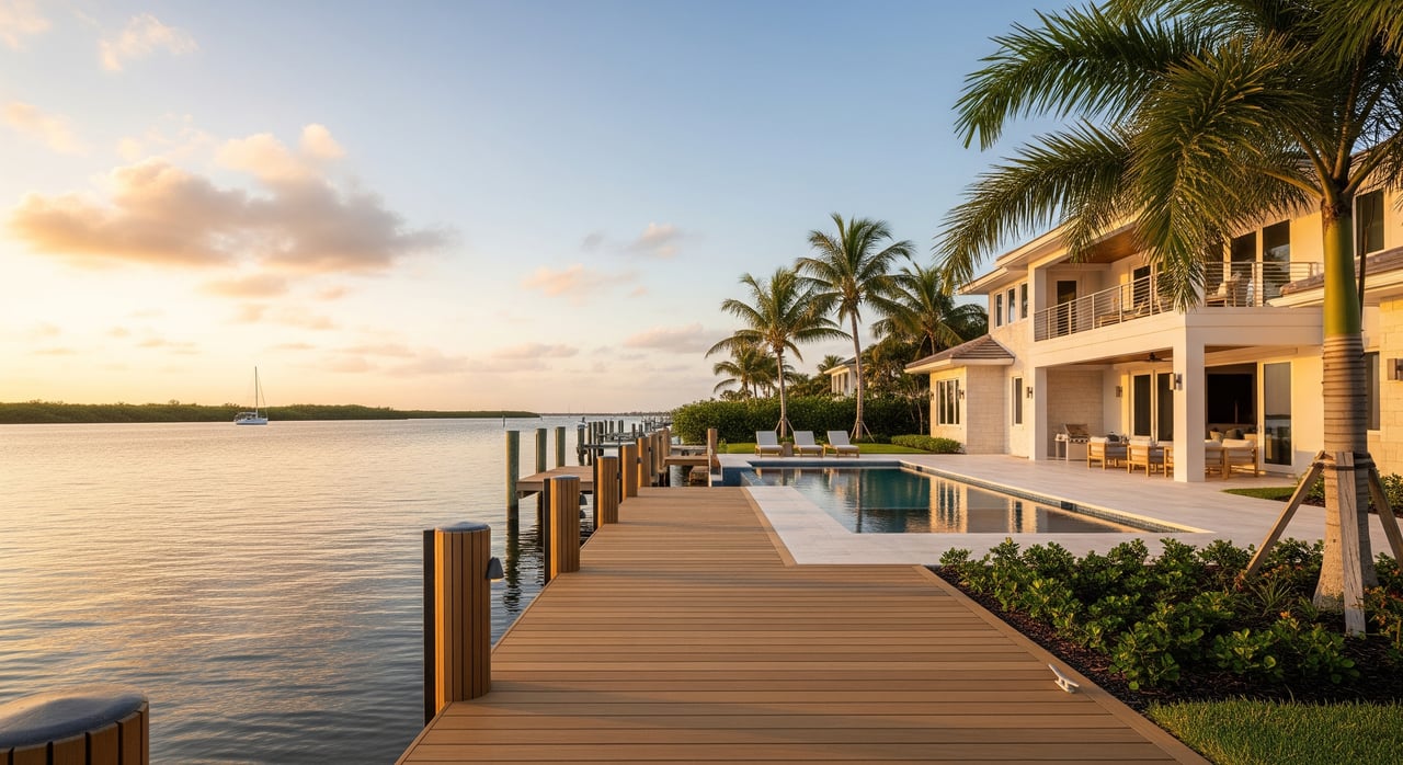
Privacy, views, and exposure
If you want big, sweeping water vistas, riverfront is the classic choice. You will likely have wider sightlines and more separation from neighbors. The tradeoff can be more wind and sun exposure and the possibility of wakes from passing boats near main channels.
Canal living feels more intimate. You may have neighbors directly across the water and less through-traffic, which can be quieter but more social. Canals are usually more sheltered from wind, which can help with comfort and maintenance.
Price and resale patterns
In most coastal markets, open-water riverfront commands a premium due to access, depth, and views. Well-located canal homes often sell for less, though wide, deep canals with direct access can approach riverfront pricing. Your exact value depends on factors like seawall and dock condition, elevation, water depth, and proximity to major routes.
For accuracy, rely on recent, hyperlocal comparables. Eric can pull current MLS data and cross-check Brevard County records through the Brevard County Property Appraiser to help you understand the premium in your target neighborhoods.
Flood and insurance factors
Waterfront property anywhere on Merritt Island comes with flood and wind considerations. Riverfront sites can face more direct storm-surge exposure, but actual risk varies by elevation, shoreline type, and how protected a canal may be.
- Start by checking your FEMA flood zone on the FEMA Flood Map Service Center and ask for any elevation certificates on file. Flood zone designation shapes insurance requirements and pricing.
- Consider long-term exposure. Review local sea-level scenarios with NOAA’s Sea Level Rise Viewer.
- Florida’s insurance market is evolving. Homeowners often need wind and separate flood coverage. For availability and regulatory updates, consult the Florida Office of Insurance Regulation. Ask for the seller’s current premiums and recent claims to inform your budget.
Maintenance and permitting
Waterfront structures require consistent care and must meet state and county permitting rules.
- Seawalls and bulkheads: Inspect age and condition. Repairs and replacement typically require permits and can be costly. Confirm the property’s permit history and recent work.
- Docks and lifts: Expect ongoing maintenance for pilings, electrical, and lift gear. Make sure any upgrades were permitted and properly engineered.
- Dredging: Some canals depend on periodic dredging to stay navigable. Not all canals are publicly maintained. Ask whether dredging was completed recently and who paid for it.
- Habitat and protected resources: Mangroves, seagrass, and manatee zones are protected. Any plan that impacts them will face scrutiny. Start with the Florida Department of Environmental Protection for permit guidance and use Florida Sea Grant for plain-language dock and seawall best practices.
Upkeep costs and lifecycle items
You will spend money over time on shoreline structures and marine hardware. Budget for both recurring and periodic items.
Recurring items
- Dock and lift service, plus occasional piling wraps or banding
- Seawall inspections and minor crack or cap repairs
- Marine growth control on ladders, lifts, and hulls
- Landscaping tolerant of wind, salt spray, and occasional splash
Periodic items
- Seawall replacement or major panel and cap work
- Dock replacement or re-decking with composite or treated lumber
- Lift upgrades or motor and cable replacement
- Potential dredging assessments in specific canals
Field checklist for showings
Use this quick checklist during showings or when reviewing listings. Items in bold are smart to verify early.
High priority
- Confirm legal waterfront type on plat and survey; note exact frontage
- Measure mean low-water depth at the dock and along the route, plus any shoaling reports
- Check FEMA flood zone and whether an elevation certificate exists
- Inspect seawall condition and note date of last major work with permits
- Review dock and lift capacity and inspect pilings and electrical
- Collect permits for seawall, dock, lift, and any dredging
- Check for recorded easements and shoreline setbacks on title and survey
Medium priority
- Typical transit time to open water or Port Canaveral and any route hazards
- Fixed bridge clearances and any overhead obstructions
- HOA or neighborhood rules that affect docks, boat sizes, or guest mooring
- Recent dredging records and who paid for them
- Preliminary insurance quotes for property, wind, and flood
Lower priority
- Long-term sea-level and erosion trends using NOAA tools
- Septic vs sewer, drainage behavior during heavy rain, and any lift station details
- Neighboring seawalls and docks that could affect wave reflection or shared repair timing
How to tour with Eric
You can make fast progress when you structure showings around what matters most: access, condition, and insurability.
- Pre-showing file pull
- Eric grabs the MLS packet, any posted surveys, seller disclosures, and uploaded permits. He checks county GIS for waterbody classification, FEMA zone, and easements, and requests seller records for dock and seawall work.
- First visit quick check
- You walk the seawall and dock, confirm legal frontage, and note depth at the dock. Eric photographs structures, looks for obvious obstructions or low bridges, and gauges neighborhood traffic and privacy. You tag each property green, yellow, or red.
- Second visit and marine verification
- For green and yellow homes, Eric schedules a marine specialist to measure depths and inspect pilings and seawall. If boating access is critical, arrange a short boat ride or marina outing to verify the route and time to open water.
- Offer-stage protections
- Include contingencies for a marine survey, seawall inspection, and insurance approval. Clarify who handles near-term seawall or dredging needs if identified.
- Closing and handoff
- Confirm permit transfers, easements, and any negotiated repairs. Do a final walkthrough of shoreline structures.
Negotiation levers to consider
- Permit status and code updates: Older docks or seawalls may be grandfathered. Replacement can trigger current standards, which can raise costs. Ask for credits or a price adjustment to reflect upcoming work.
- Shared canal costs: Some neighborhoods self-fund dredging or bulkhead projects. Ask for documentation on past assessments and likely future costs.
- Insurance contingency: Given market shifts, make insurance approval a condition to avoid surprises.
- Environmental constraints: Projects involving mangroves or seagrass can be limited or delayed. Build permitting timelines into your plan and negotiate closing dates or credits accordingly.
Choosing between canal and riverfront on Merritt Island comes down to your boating goals, budget, and comfort with exposure and upkeep. If you want the fastest route to open water and sweeping views, riverfront may be worth the premium. If you want sheltered mooring and a lower entry price, the right canal can deliver the waterfront lifestyle without overextending your budget.
Ready to compare real listings and run the numbers with an expert who knows the Space Coast? Reach out to Eric Williams for a focused plan, fast answers, and a smarter path to your waterfront home.
FAQs
What is the biggest difference for Merritt Island boaters?
- Riverfront usually offers more direct access to wide channels and Port Canaveral, while canals vary in depth and may include bridges or shallow sections that limit boat size.
How do I check flood risk for a Merritt Island waterfront home?
- Look up the home’s FEMA zone on the FEMA Flood Map Service Center and ask for an elevation certificate to estimate insurance needs.
Where can I verify tides, depths, and navigation notices?
- Use NOAA Tides & Currents for tides and chart references, and check the U.S. Coast Guard Local Notices to Mariners for bridge clearances and navigation updates.
Do I need permits to replace a dock or seawall in Brevard?
- Yes, most dock, lift, and seawall work requires permits; start with the Florida Department of Environmental Protection and coordinate county approvals.
How can I plan for long-term sea-level considerations?
- Review local scenarios with NOAA’s Sea Level Rise Viewer and discuss elevation, drainage, and floodproofing options during inspections.
Where can I find property and permit history for a listing?
- Ask Eric to pull county records and cross-check parcel data via the Brevard County Property Appraiser and any seller-provided permits and invoices.
What should I budget for ongoing waterfront upkeep?
- Plan for recurring dock and lift service, seawall inspections, and occasional major projects like re-decking or seawall replacement over longer timelines.